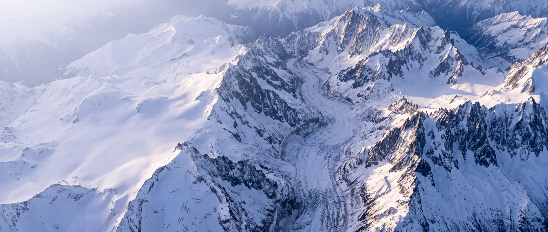
Maps
Our own map of the Alps with huts and weather stations, plus the official national maps.
Map of the Alps
It covers the whole Alps, across every national border. What it shows and where it comes from:
- Trails, places, huts, passes, water: from OpenStreetMap
- Peaks, spot heights, terrain names: also from the national maps of swisstopo, IGN, BEV and GURS
- Contour lines: every 10, 20 or 100 metres, depending on the zoom
- Hillshading: gives the relief its depth
- Elevation models: official data from all Alpine countries
Trails
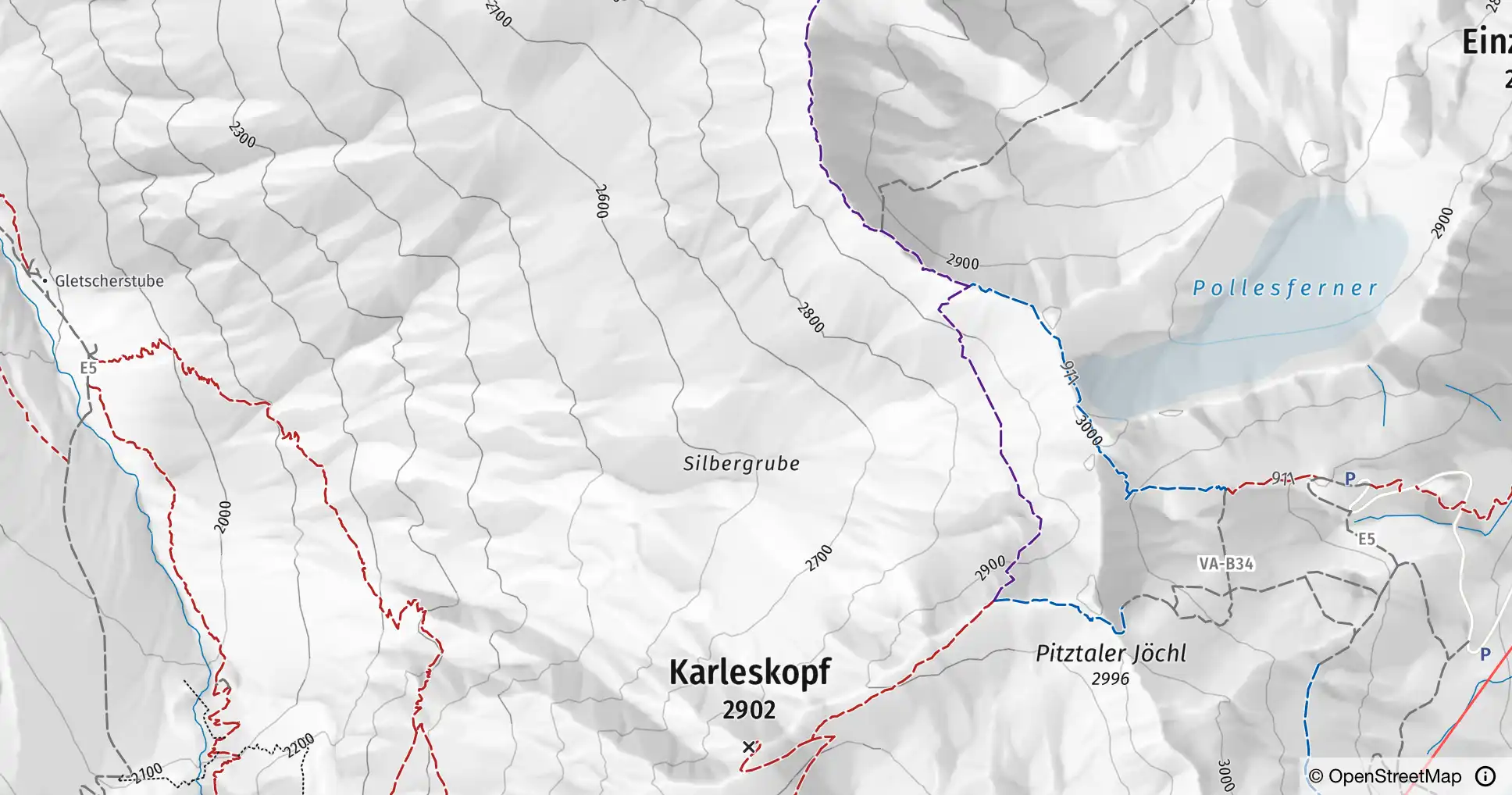
The colour shows the difficulty on the SAC scale, the line how visible the trail is on the ground. Both come from OpenStreetMap.
Difficulty
- T1 hiking
- T2–T3 mountain hiking
- T4 alpine hiking
- T5–T6 demanding alpine
- other trails
Visibility
- clearly visible
- partly visible
- barely visible
Also
- Via ferrata
- Cable car and lift
On the map
Weather stations
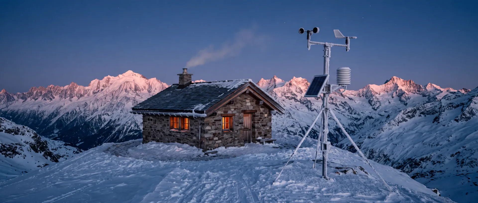
More than 1400 measuring stations in six countries show temperature and snow depth right where they stand. Tap one and its window opens with all its measurements.

Huts
More than 5400 huts across the Alps, staffed and self-catering, from OpenStreetMap and updated every week. Tap one to see what it lists: elevation, operator, phone, email, website and winter room.

Official maps
National maps
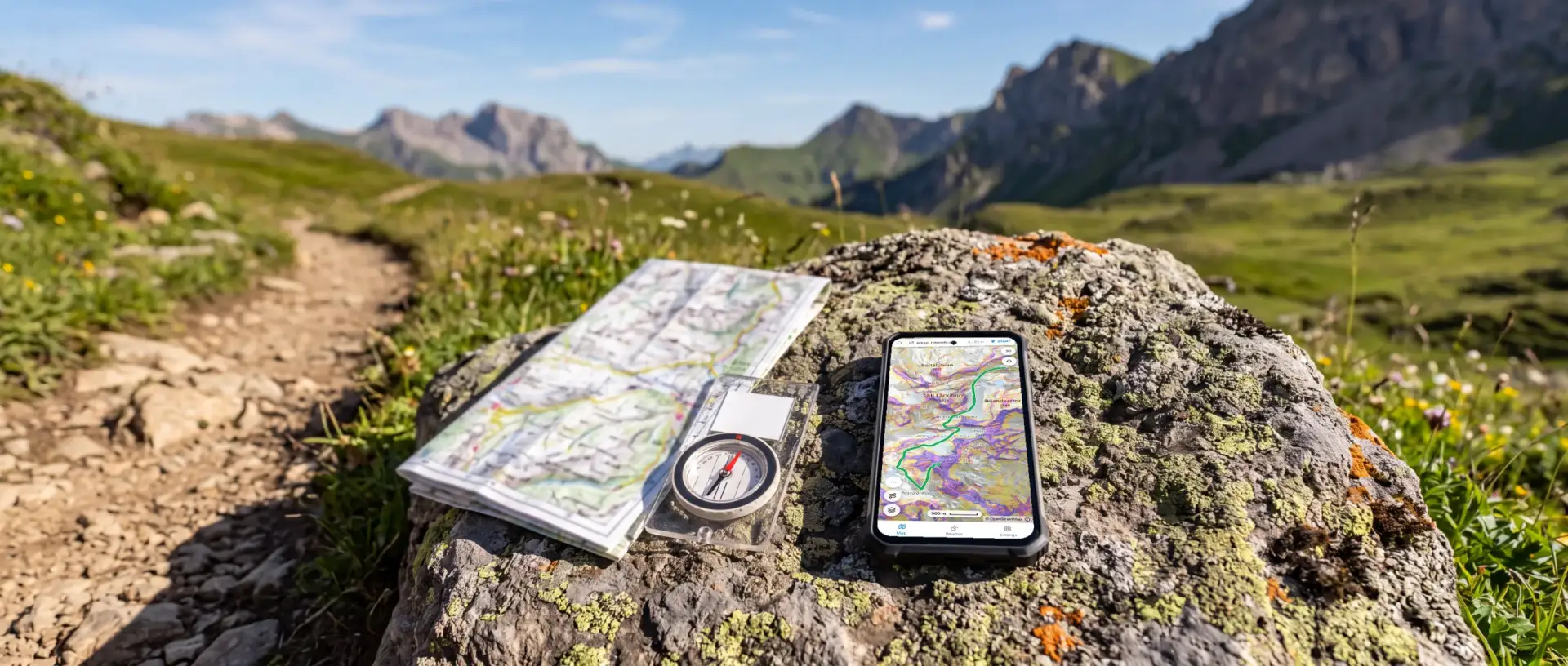
Every country has its own map series. The app joins them at the borders into one map. In Italy, our own map of the Alps takes over.
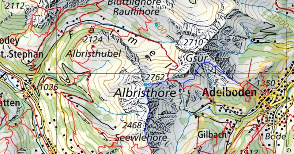
🇨🇭 swisstopo Landeskarte Switzerland
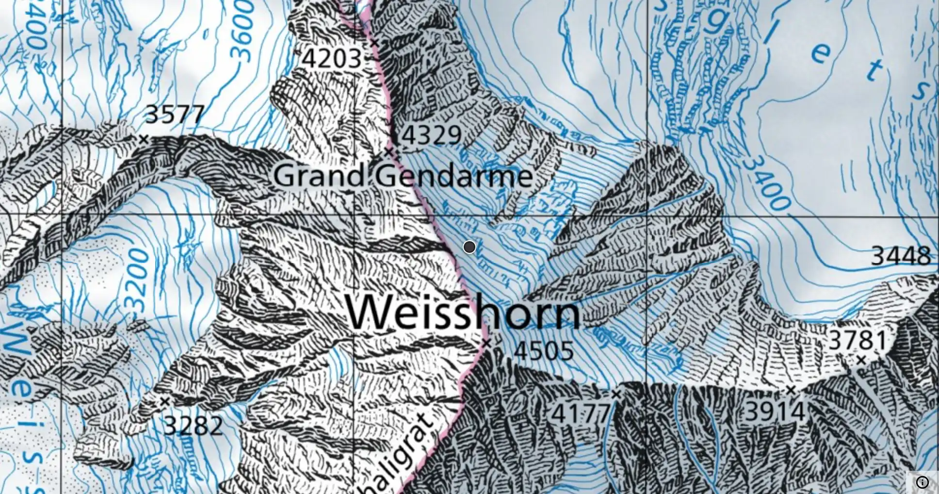
From the Federal Office of Topography (swisstopo).
🇦🇹 Austrian Map Austria
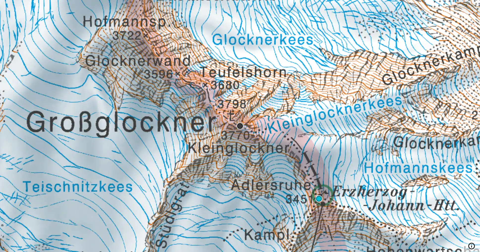
From the Federal Office of Metrology and Surveying (BEV).
🇩🇪 BayernAtlas Bavarian Alps
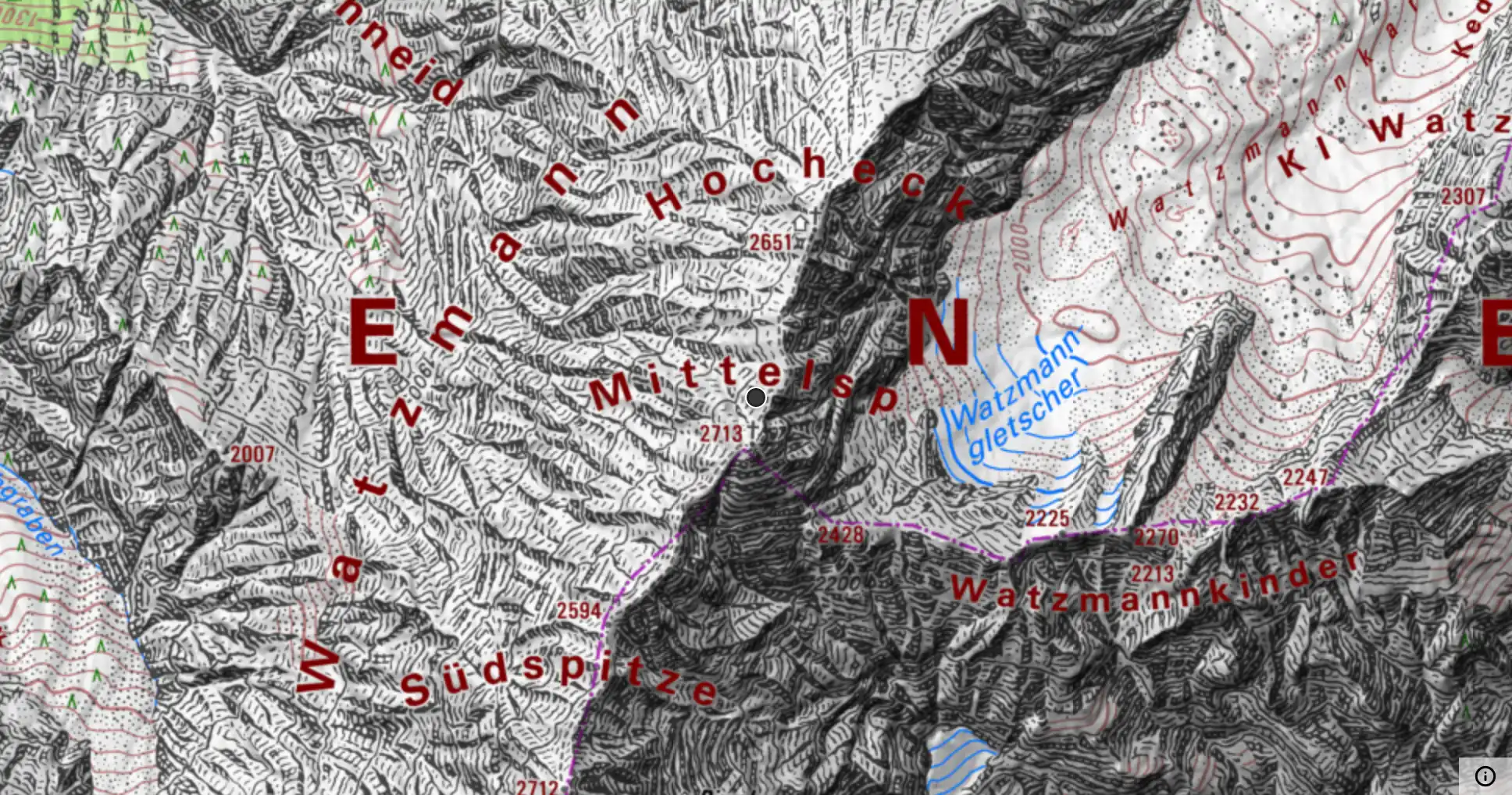
From the Bavarian surveying authority (LDBV).
🇫🇷 Plan IGN France
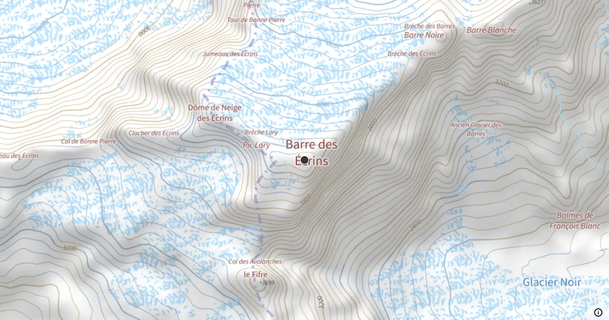
From the Institut géographique national (IGN).
🇸🇮 Državna topografska karta Slovenia
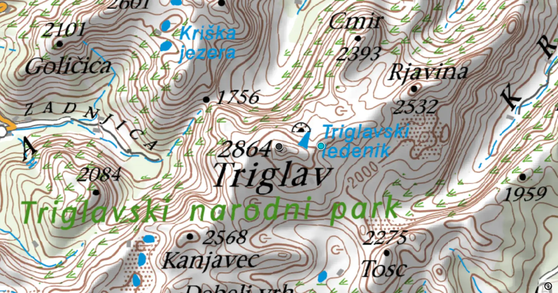
From the Surveying and Mapping Authority of Slovenia (GURS).
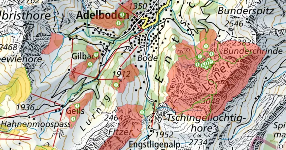
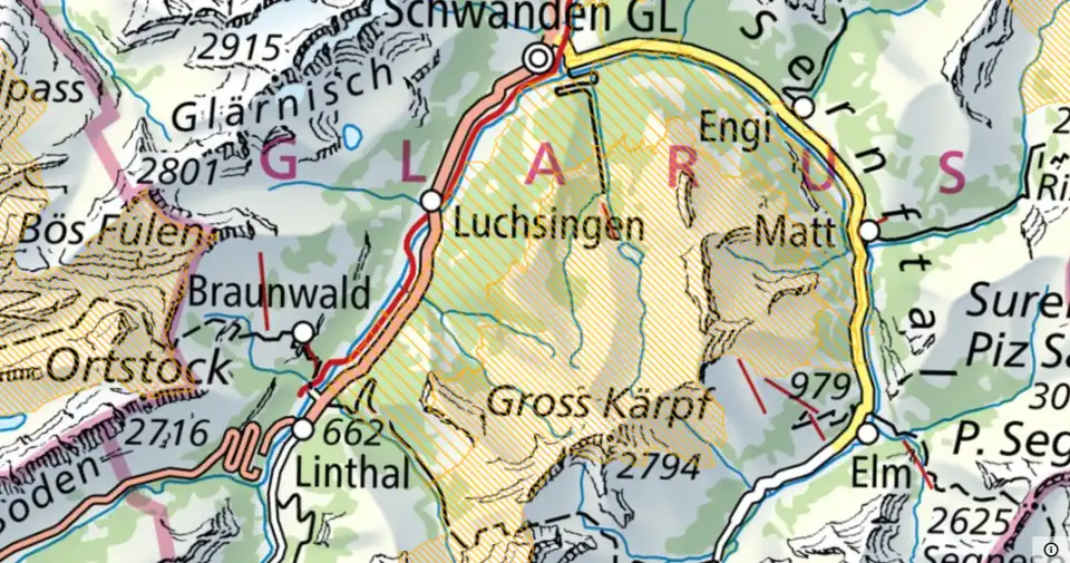
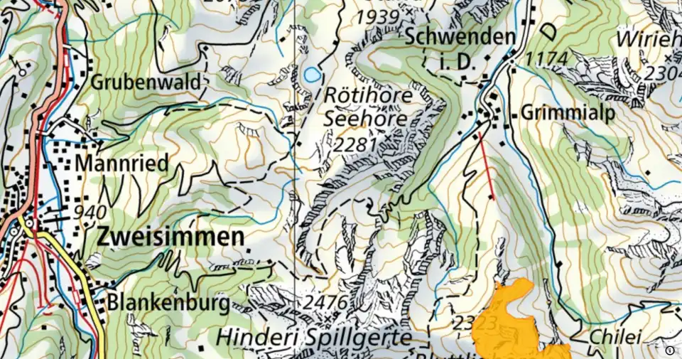
Map layers
On top of the Swiss national map, further layers are available.