Route planning
Use the existing routes or draw your own.
Ski and snowshoe tours
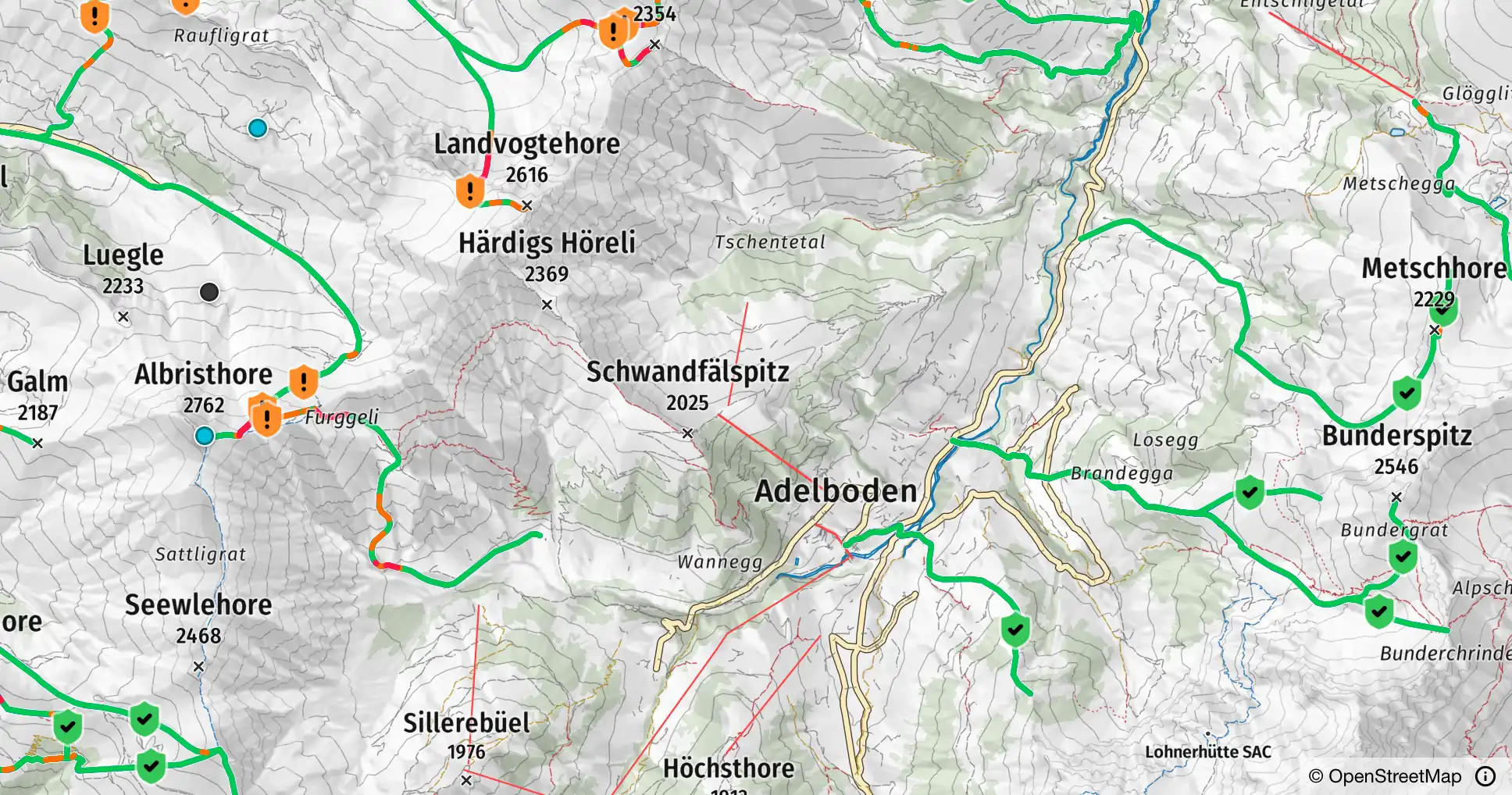
Under Layers you find more than 13,000 official ski tours in Switzerland, France, Austria and Bavaria, plus the snowshoe tours of the SAC in Switzerland. Tap a line and the tour opens.
Ski tours Snowshoe tours
Tour preview
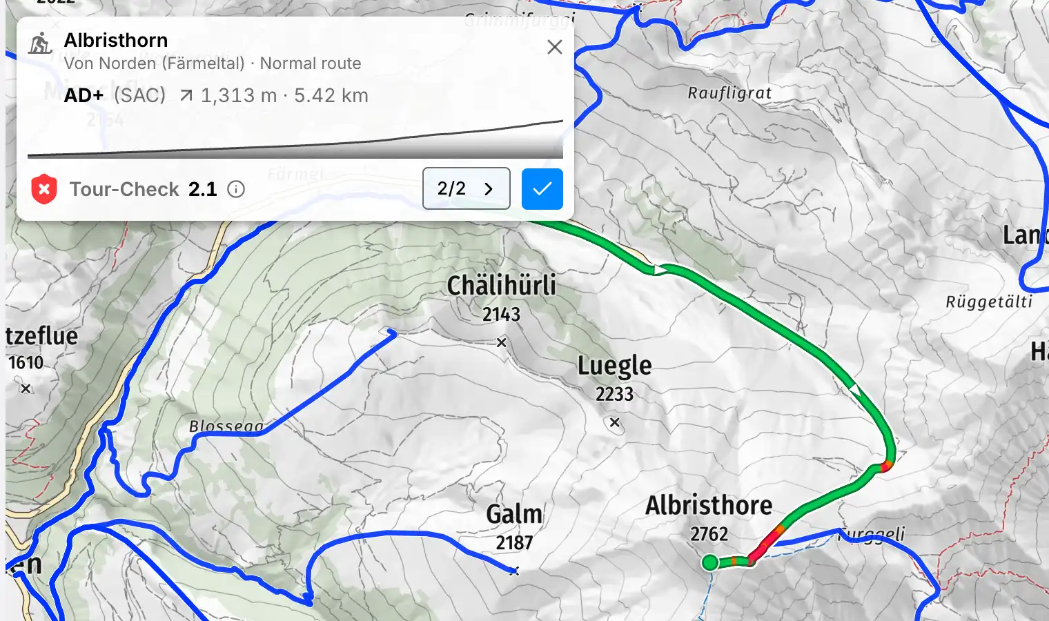
The window shows grade, elevation gain, length, a small profile and the Tour-Check. Where several tours meet, the arrow leads to the next one. The blue tick takes the tour over as your route.
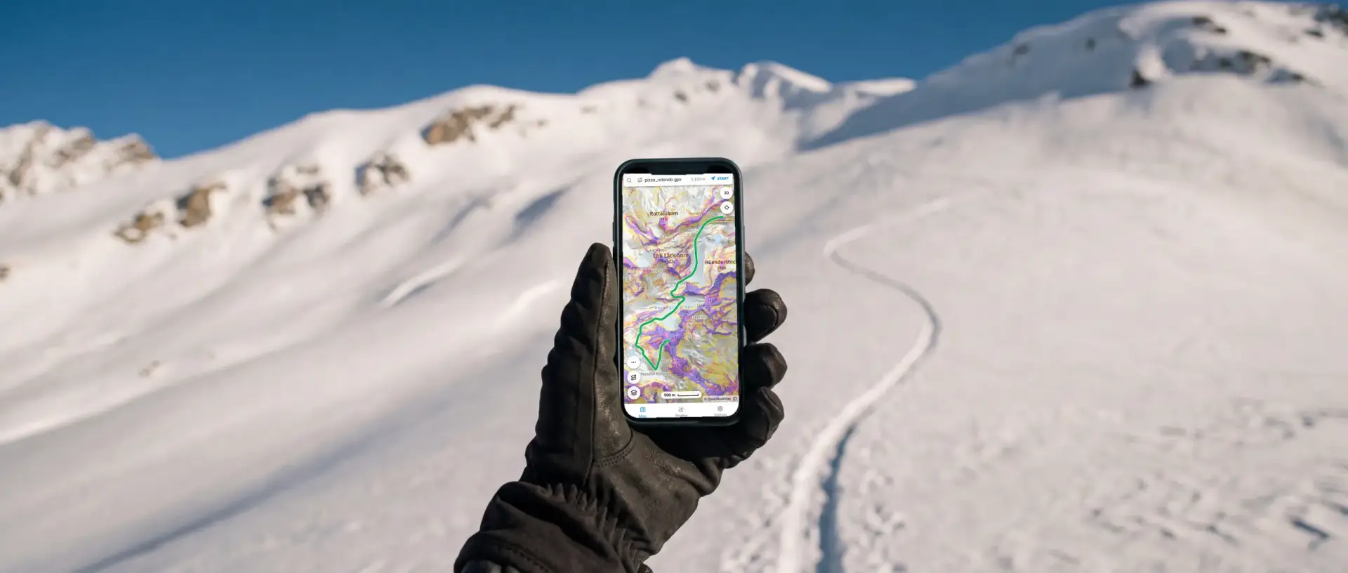
Plan it yourself
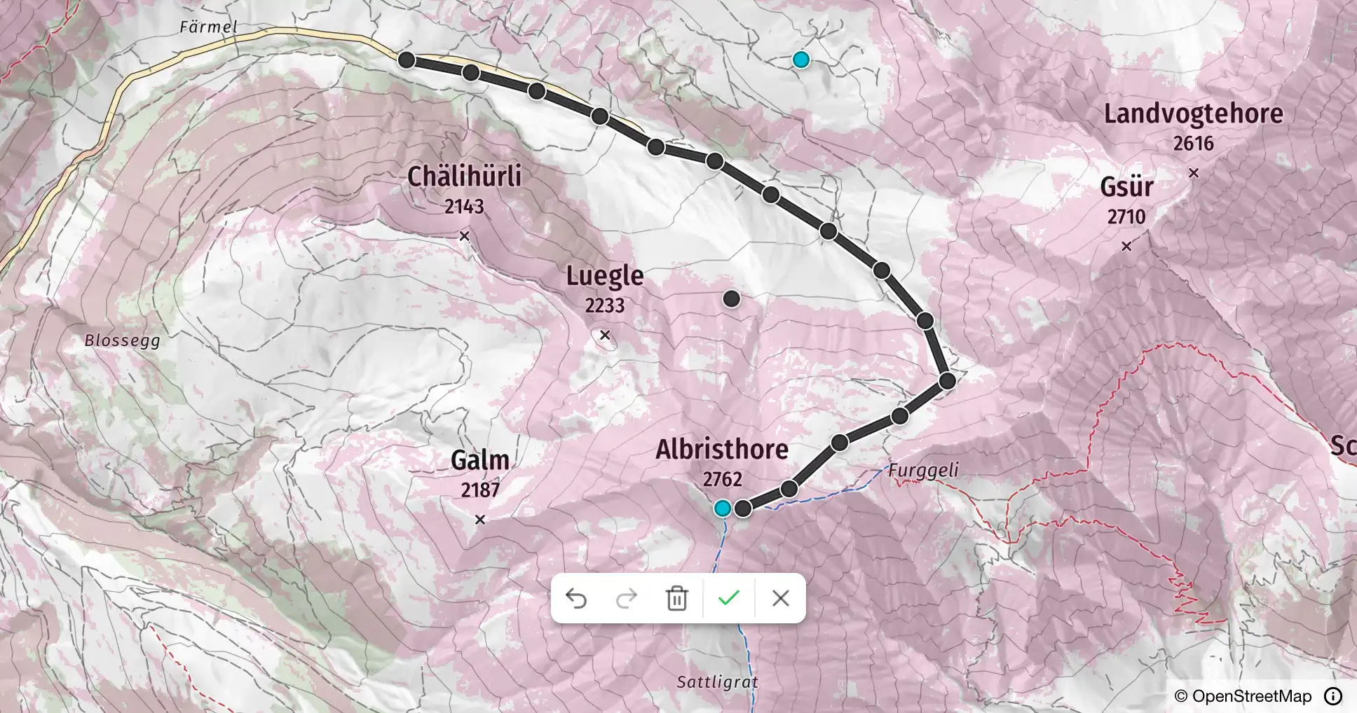
Draw your own route
With the pencil you set point after point on the map. Undo, redo and clear sit in the toolbar, the green tick opens the elevation profile. An existing GPX file loads through the search field.
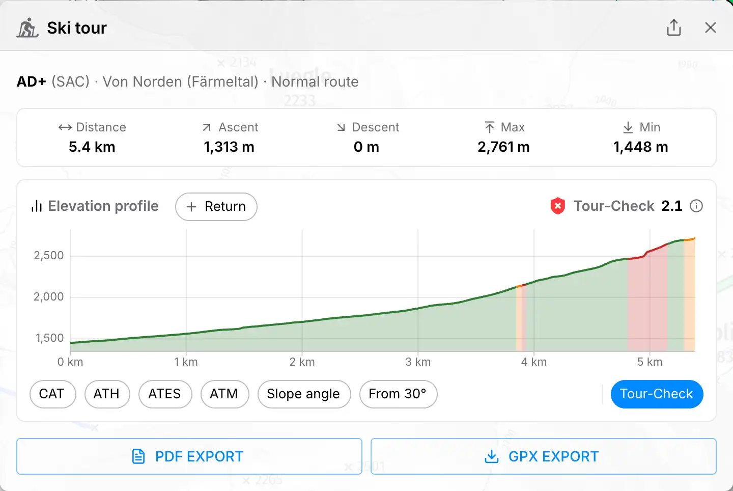
Elevation profile
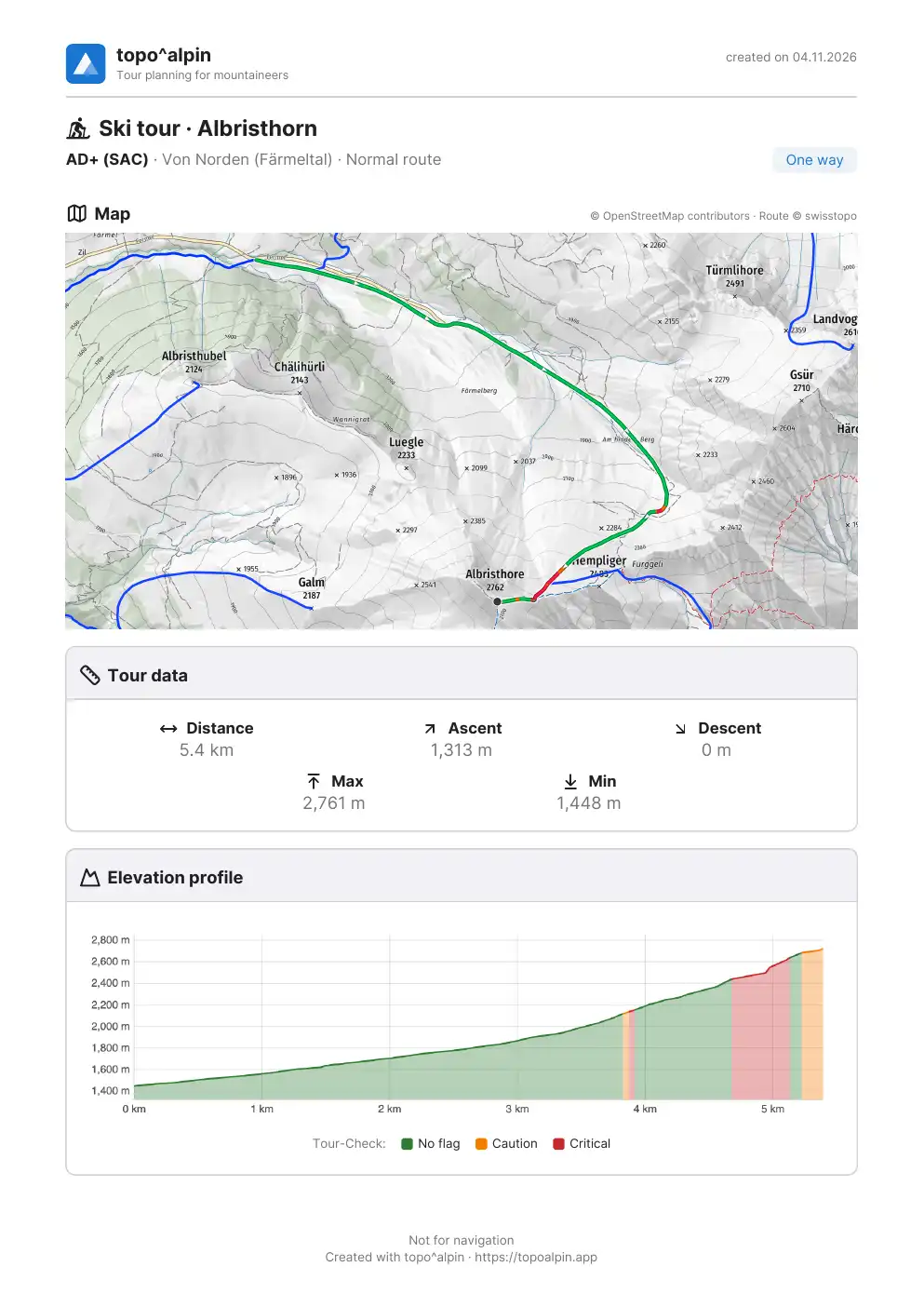
- Key figures: distance, ascent, descent, highest and lowest point
- Curve: shows where it runs gently and where it gets steep
- Return: one tap and the profile counts the way there and back
- Colours: the buttons below the curve colour it by Tour-Check, avalanche terrain or slope angle
On tour
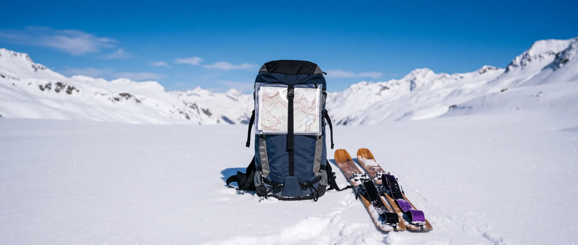
Map, tour data and elevation profile on one sheet, to print or pass on.
GPX
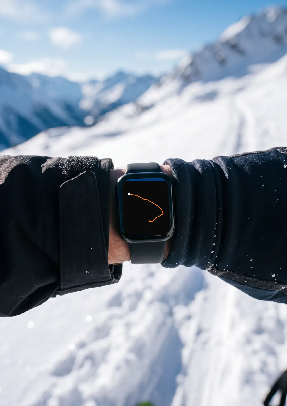
Your drawn route as a file for your watch or GPS device.